ARCHITECTURAL AND CONSTRUCTION
Architect design, checking, management solutions in the architectural and construction industry
Architect design, checking, management solutions in the architectural and construction industry
Archicad is a Building Information Modeling (BIM) software solution for architects, engineers, and AEC professionals, enabling users to design detailed 3D models and collaborate efficiently on construction projects. With its powerful integrated toolset, Archicad not only supports the design process but also optimizes documentation and project management, helping users work smarter and more effectively throughout the entire project lifecycle
BIMcloud is a cloud-based collaboration platform designed to support teamwork workflows in architectural and construction projects. BIMcloud empowers architects, engineers, and project team members to collaborate seamlessly over the internet, manage projects of any scale, and extend project participation to mobile devices through BIMx, ensuring smooth coordination and real-time access to project data anytime, anywhere
BIMx is an advanced visualization and presentation solution that transforms Archicad models into interactive and immersive experiences for architects and project stakeholders. It allows users to publish and explore the models you create on your desktop on mobile devices including iOS iPhone/iPad/iPod Touch and Android platforms, enabling seamless design communication, improved client engagement, and clearer project understanding anytime, anywhere
Ci Tools is an add-in in Archicad that helps optimize your use of Archicad. Ci Tools is committed to developing and distributing tools that support architects and designers to get the most out of Archicad.
The solution helps designers to draw, document and list the necessary reinforcement for their buildings in ARCHICAD. The application provides tools to define all 2D drawings and the complete 3D model as well as the cutting list of rebar.
ZWCAD is DWG-compatible; 2D drawings and 3D drawings (surface and solid modeling) can be created. File formats are: DWG / DXF (R14-2013), DWT, SAT, BMP, WMF, PDF. The ZWCAD program offers functionalities such as dynamic blocks, tool palettes (libraries), DesignCenter, property palette, Smart Voice, Smart Mouse, synchronization with smartphones and tablets via cloud storage, CUI, APIs (LISP, VBA, ZRX, .NET).
Catenda Hub is a common data environment (CDE) that helps construction and infrastructure actors to manage their projects. The open standards-based cloud platform allows you to exchange information, schedule, planning, assign issues, and centralize all project data (2D plans, 3D models, documents etc.).
Solibri Model Checker. Solibri Model Checker™ is a BIM quality assurance software solution that analyzes Building Information Models and architectural and engineering designs for integrity, quality and physical safety.
GEO5 is a comprehensive software suite, comprising more than 20 dedicated modules for engineering analysis in the field of civil and geotechnical engineering. The suite allows users to perform stability analysis, retaining walls, foundations, settlement analysis, as well as assessment of underground structures.
Allplan is an architecture building design software, with all features not only architectural design but also set structural, electricity, water, volume removal, estimation, …, including 2D and 3D.

Graphisoft BIMcloud supports multidisciplinary design and construction teams with:
***BIMcloud is NOT a cloud storage service
Keep your BIM project data secure at all times! BIMcloud SaaS offers multi-factor authentication along with a strong password policy option to help minimize potential security vulnerabilities. This not only safeguards sensitive project data and intellectual property, but also enhances the overall security of your business operations – ensuring all critical information remains fully protected
BIMcloud Basic
BIMcloud
BIMcloud Software as a Service
Basic teamworking
Collaborate on design projects through Archicad
+
+
+
Delta technology
Send only changes through the network
+
+
+
Communicate within the project
Discuss specific issues within the project
+
+
+
Basic permission system
Individual permission settings for each project
+
+
+
Work through WAN
Work in teams using wide area network
_
+
+
Support more Archicad versions
Use different versions of Archicad for different projects on the same BIMcloud
_
+
+
Advanced teamworking
Reservation assistant, intelligent project libraries
_
+
+
BIMx PRO license and communication
BIMx PRO features with integrated messaging for all projects
_
+
+
BIMx Web Viewer
Open Hyper-models in BIMx Web Viewer integrated to BIMcloud’s browser interface
_
+
+
Advanced permission system
Hierarchical permission definition with inherited settings
_
+
+
User directory integration
Connect your office user directory for easier access management
_
+
_
Multi-site optimisation with BIMcloud Delta Cache
Speed up remote team’s work by saving on network bandwidth
_
+
+
Change tracking
Stay in the loop by subscribing to changes of interest and get notified real-time in Archicad
_
+
+
Advanced team and project management
Multi-level folder structure and advanced group or team level permissions for better project organization
_
+
+
Multi-disciplinary model hub
Keep everyone in sync by publishing and uploading models, drawings and any other files directly to BIMcloud
_
+
+
Link directly from BIMcloud
Hotlink models, access SAF and BCF files and external drawings in Archicad directly from BIMcloud
_
+
+
BIMcloud API
Connect your application to BIMcloud for easy access to hosted data: manage, upload, download directly from other tools
_
+
+
File Hosting
Host files of any type
_
+
+
Automatic Scaling
Increased hardware and storage when it’s needed
_
_
+
No up-front investment
Hop on, hop off as your projects require it
_
_
+
Zero IT
The system is managed by Graphisoft – no need to invest in additional IT solutions
_
_
+
These comprehensive set of tools to provide are an extension to Archicad providing added flexibility and efficiency.
Doors+Windows Tool
The Ci Doors+Windows Tool gives you the freedom to explore a greater variety of door and window styles with a variety of panels, opening methods, trims and sills.
Add personality to your designs without restrictions on style, complexity or construction. What’s more, door and window objects made using this tool can be shared across projects, using the powerful Ci Presets system.
 Keynotes Tool
End the tedium and potential errors of annotating your Archicad drawings by using Ci Keynotes.
Keynotes allows you to annotate your drawings quickly and simply with greater accuracy by providing a framework to create a database of notes (or to transfer an existing database) so that notes automatically attach to elements based on their attributes.
You can place a full note without any reference directly on a drawing, or place a reference key on the drawing and then Keynotes compiles a schedule of these notes.
Cabinets Tool
Use just one highly-configurable object to model all your cabinetry, instead of having to use separate objects for each different cabinet type and shape.
Using the new library you can easily model flat and curved cupboard doors and drawer fronts. Mix and match from a generous palette of editable panel styles and handle types to create that unique look.
 Coverings Tool
Add realism to your Archicad model by applying 3D modelled skins to walls, slabs, columns and roofs in both 2D and 3D views.
This tool will add depth and detail to the surfaces of your Archicad projects. The surfaces are represented in your 2D, 3D, section and elevation views and they even retain their correct proportions when object sizes are changed.
The surfaces created maintain an automatic relationship to the primary elements, and whenever it is updated or changed, the attached 3D modelled objects update correspondingly.
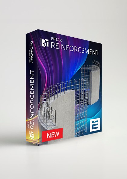
Eptar Reinforcement is an add-on for Archicad, designed to assist civil engineers and architects in creating, managing, and optimizing rebar components for construction projects. With Eptar Reinforcement, users can easily draft rebar details directly within Archicad, generate technical documentation, and manage cutting lists for rebar quantities.
This tool enables the design and visualization of rebar components in both 2D and 3D models, meeting the technical standards of the construction industry. Eptar Reinforcement also facilitates close collaboration between architects and engineers on the same BIM model without leaving the Archicad environment, enhancing accuracy and efficiency in design and construction.
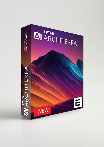
Architerra is the solution for Archicad users for creating and managing 3D terrain models. This tool is especially useful when working on large areas, allowing the addition of elements like roads, plateaus, buildings, and other components.
Architerra was developed to address the specific need of Archicad users for creating and managing 3D land models.
Architerra supports terrain modeling by allowing users to draw sites directly or import data from various file types, such as DXF, Text, or Shape files. This tool enables users to work and visualize terrain morphology in both 2D and 3D spaces.

ZWCAD is DWG-compatible; 2D drawings and 3D drawings (surface and solid modeling) can be created. File formats are: DWG / DXF (R14-2013), DWT, SAT, BMP, WMF, PDF.
The ZWCAD program offers functionalities such as dynamic blocks, tool palettes (libraries), DesignCenter, property palette, Smart Voice, Smart Mouse, synchronization with smartphones and tablets via cloud storage, CUI, APIs (LISP, VBA, ZRX, .NET).
Within the Catenda common data environment (CDE), work more efficiently with topics. Add, import, organize and collaborate on topics. The use of open standards such as BCF (BIM Collaboration Format) enables all actors using different software to collaborate on construction and infrastructure projects.
The powerful 3D viewer available in Catenda Hub (previously Bimsync) allows everyone involved in a project to view the models and collaborate. Combine our high performance 3D viewer with auto-generated 2D floor plans to get a full overview of all of the models in your projects.
The CDE Catenda Hub gathers all the data of a project. Add relevant information to your models, taking measurements, making cuts and coloring objects. To collaborate more effectively, link documents and data to your virtual asset with a single click, creating a true digital twin.
Solibri Model Checker™ is a BIM quality assurance software solution that analyzes Building Information Models and architectural and engineering designs for integrity, quality and physical safety.
ALLPLAN
Allplan is an architecture building design software, with all features not only architectural design but also set structural, electricity, water, volume removal, estimation, …, including 2D and 3D.
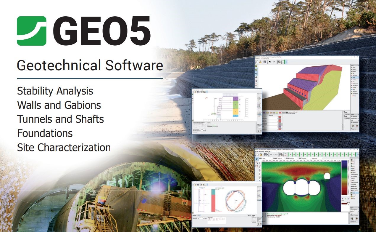
GEO5 is a suite of geotechnical engineering software developed by Fine Software, designed for the analysis, design, and modeling of various geotechnical structures. It is widely used by civil and geotechnical engineers to perform soil and foundation analyses, slope stability assessments, and retaining structure design. GEO5 is known for its user-friendly interface and its ability to handle both simple and complex geotechnical problems.
GEO5 consists of individual modules that each address a specific type of geotechnical task. Instead of being a single monolithic application, GEO5 is structured as a set of specialized programs that allow users to select the exact tools they need for different analyses, such as foundations, retaining walls, tunnels, or slope stability. The software integrates these modules so that data and results from one analysis can be used in another.